Image Locations to KmzPurpose
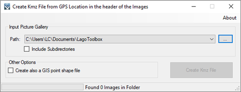
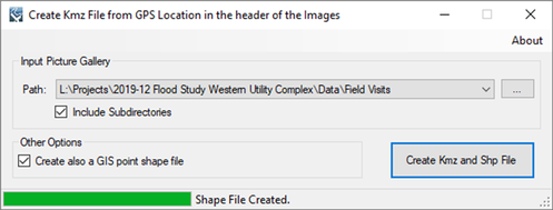
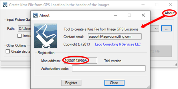
This tool generates a Google Earth kmz file using the GPS location in the EXIF metadata of the photos to show where each image was taken. In addition, the tool can create a GIS point shape file. Usage The user must specify a directory to search and may optionally choose to search all subdirectories. The tool searches all applicable directories for any .tiff, .jpg, and .wav files, reads the EXIF metadata for the GPS locations and writes the locations in a new Google Earth kmz file, and optionally, also to a GIS point shape file. The free version allows the user to save the first Image’s Point. Pictures without GPS meta data are given a generic location that is the average of the other pictures GPS meta data. Example of use The screens shown below illustrate the processing of a point shape file. Registration In order to have full functionality of this tool, the user needs to complete the registration by following these steps:
After these steps, the authorization code will be sent to the email that you provided during the PayPal payment process.
Support Users can report bugs and send comments by email to [email protected]. Created by Lago Consulting & Services LLC. © 2014. Last updated on 12/09/2019
|
|
Featured Software
Software Development
Spreadsheet modeling |


